mercoledì 30 gennaio 2013

Navajo Canyonlands

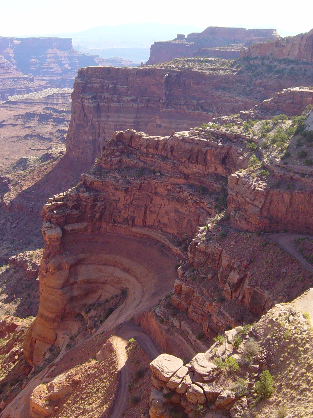
Enlarge Image. The Permian through Jurassic stratigraphy of the Colorado Plateau area of southeastern Utah that makes up much of the famous prominent rock formations in protected areas such as Capitol Reef National Park and Canyonlands National Park. From top to bottom: Rounded tan domes of the Navajo Sandstone, layered red Kayenta Formation, cliff-forming, vertically jointed, red Wingate Sandstone, slope-forming, purplish Chinle Formation, layered, lighter-red Moenkopi Formation, and white, layered Cutler Formation sandstone. Picture from Glen Canyon National Recreation Area, Utah
Stratigraphy of Canyonlands area - USGS http://3dparks.wr.usgs.gov/coloradoplateau/canyonlands_strat.htm
 
Navajo Canyonlands
di DM Weber
 
Shafer Canyons Overlook, Canyonlands National Park, Utah
References:
  • Geology of National Parks: Fifth Edition, Ann G. Harris, Esther Tuttle, Sherwood D., Tuttle (Iowa, Kendall/Hunt Publishing; 1997) ISBN 0-7872-5353-7
  • Furuya, M., Mueller, K., and Wahr, J., 2007, Active salt tectonics in the Needles District, Canyonlands (Utah) as detected by interferometric synthetic aperture radar and point target analysis: 1992-2002. Journal of Geophysical Research v. 112, B06418, doi:10.1029/2006JB004302 |
  • USGS: Canyonlands National Park, A Photographic Featuring Park Geology
  • American Park Network: THE CREATION OF CANYONLANDS
  • 4corners.net: Geology of the Arches and Canyonlands National Parks
  • Nessun commento:

    Posta un commento